ORTHOPHOTO
Orthophoto Software — Viewer & Basemap for Large GeoTIFF
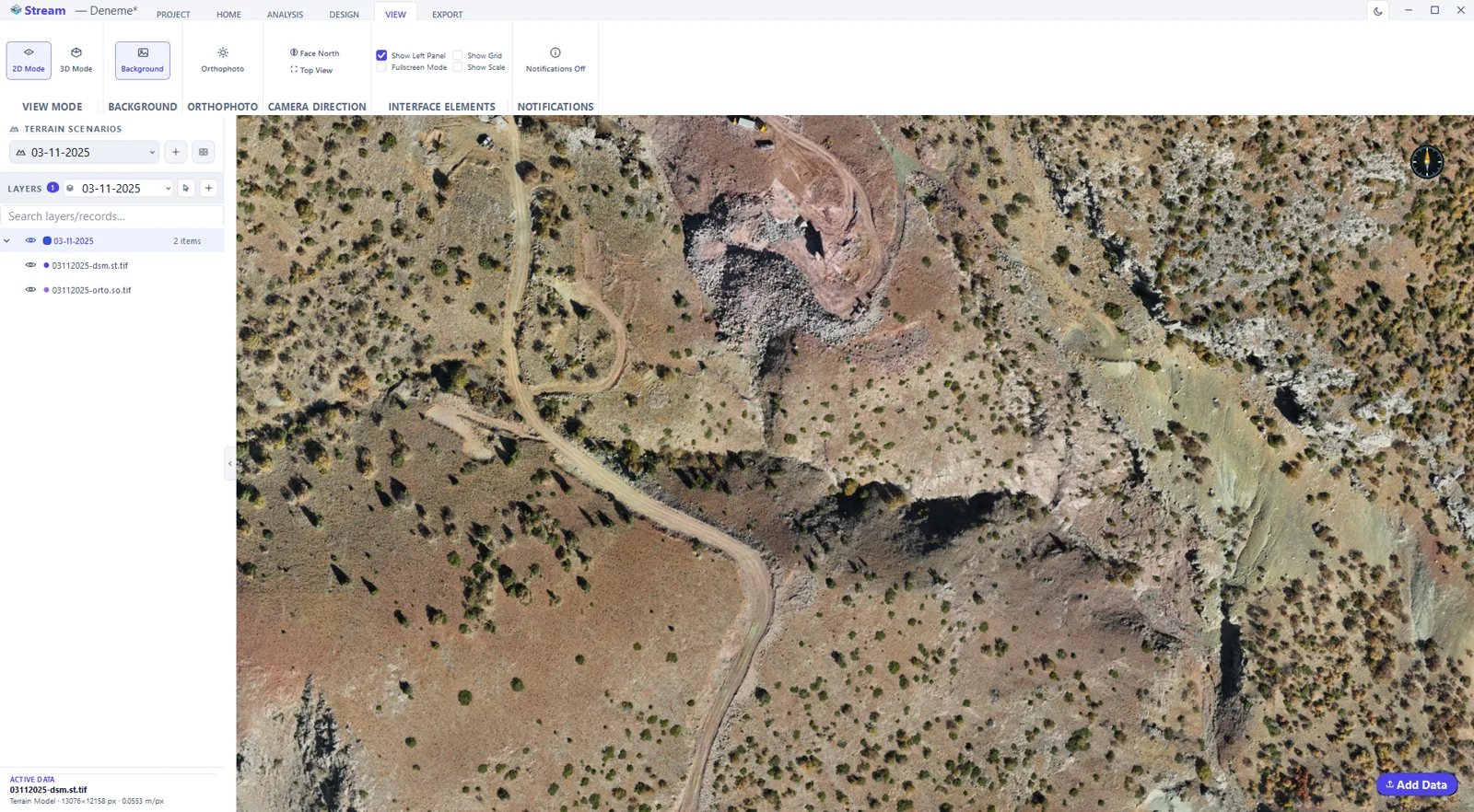
STREAM is orthophoto software that streams large GeoTIFF files straight from disk and drapes them over your terrain — no cloud, no waiting. Use the imagery as a precise basemap to measure, digitize vectors and read the site alongside the elevation surface.
What is an orthophoto?
An orthophoto (orthomosaic) is an aerial image that has been geometrically corrected so every point is shown as if viewed straight down. Because the scale is uniform, you can measure real distances and areas directly on it.
Orthophotos pair naturally with a DEM: the DEM gives elevation, the orthophoto gives visual context. STREAM shows both together.
Orthophoto Software in STREAM
Stream large orthophotos
Open gigabyte-scale GeoTIFF orthophotos; only the visible area loads in full detail, so huge mosaics stay responsive.
Drape on the terrain
Overlay the orthophoto on your DEM in 2D and 3D to read imagery and elevation together.
Basemap for digitizing
Use the imagery as a precise backdrop to measure and draw vector points, lines and areas that snap to the terrain.
From a point cloud
STREAM can also produce an orthophoto from a photogrammetry point cloud on import.
In the product
How to view and use a large orthophoto
- 1
Load the image
Open the orthophoto GeoTIFF; it streams out-of-core, so a multi-gigabyte mosaic opens without waiting for the whole file.
- 2
Confirm the georeferencing
Check the coordinate system so the image sits exactly on the DEM underneath it.
- 3
Drape it on the terrain
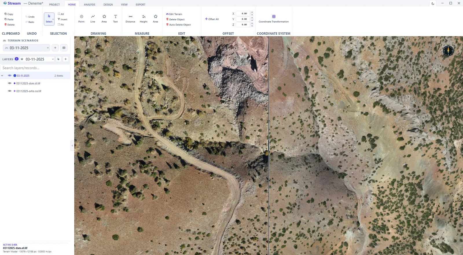
Turn the orthophoto on over the elevation surface and view it in 2D for drawing or 3D for interpretation.
- 4
Draw on top of it
Digitise points, lines and areas against what you can see in the image — the geometry lands on the terrain, not on a flat picture.
- 5
Export
Crop and export the image back to GeoTIFF, or place it in a map sheet or KMZ for sharing.
Supported formats
Frequently asked questions
Can STREAM open large orthomosaics?
Yes. STREAM streams gigabyte-scale GeoTIFF orthophotos out-of-core, loading only what you are looking at, so large mosaics stay responsive.
Can I measure on the orthophoto?
Yes. Because the imagery is georeferenced and draped on the DEM, you can measure real distances and areas and digitize vectors directly on it.
Does STREAM create orthophotos from drone photos?
STREAM does not process raw photos — that is photogrammetry. It opens finished orthophotos, and can generate one from a photogrammetry point cloud.
Can I digitize features on the orthophoto with elevations?
Yes — this is heads-up digitizing. Draw points, lines and areas over the orthophoto and each vertex takes its elevation from the terrain beneath it. For a line drawn or imported flat, Drape to Terrain resamples it at the step you choose and gives every sample the ground elevation, so it follows the terrain profile. The result exports to DXF, Shapefile or CSV with its elevations.
Where this is used
Try Orthophoto in STREAM
Free beta for Windows x64. Works fully offline with GeoTIFF, LAS/LAZ and DXF.
Download STREAM free