TERRAIN ANALYSIS
Terrain Analysis Software
STREAM is terrain analysis software that turns a raw DEM into slope, hydrology, viewshed, sun-exposure and change-detection layers — entirely offline, on your own machine. Run the full suite directly on your DEM, view the results as a live color layer over the surface, and save them as raster or vector whenever you want.
What is terrain analysis?
Terrain analysis derives meaningful information from an elevation surface — steepness, flow, visibility, sun exposure and change over time. Each analysis reads the DEM and produces a new layer you can interpret and export.
Doing it in one offline desktop app keeps sensitive project data on your machine and the whole workflow fast.
Terrain Analysis Software in STREAM
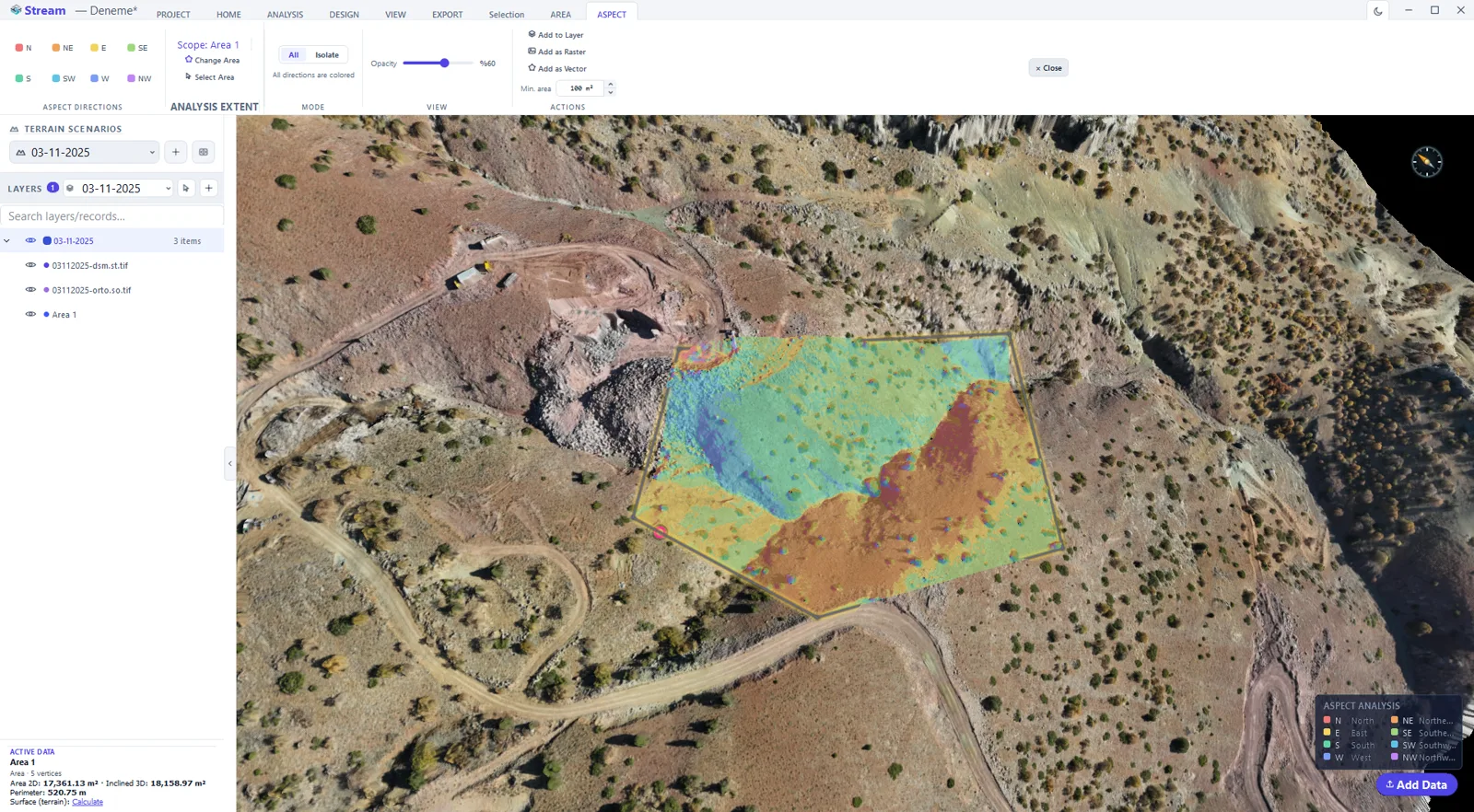
Slope & aspect
Surface steepness and slope direction as color overlays, with direction isolation and a compass legend.
Viewshed & line-of-sight
See what is visible from a point, and whether an obstacle blocks the line between two points.
Hydrology & contours
Water flow, drainage and watershed analysis, plus contour generation at any interval.
Sun & shadow, change detection
Sunlight-hours with topographic shadow, and volume change with uncertainty between two surveys.
Offline terrain analysis software
Most terrain analysis tools run in the cloud or inside a full enterprise GIS suite. STREAM runs the same slope, hydrology, viewshed, sun and change-detection analyses locally on Windows, with no upload step and no per-analysis cloud fee.
In the product
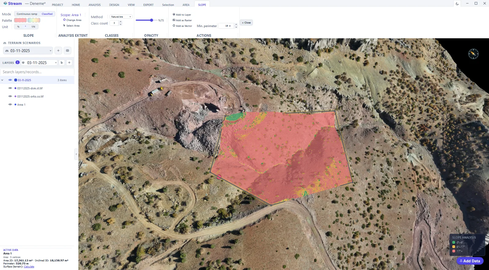
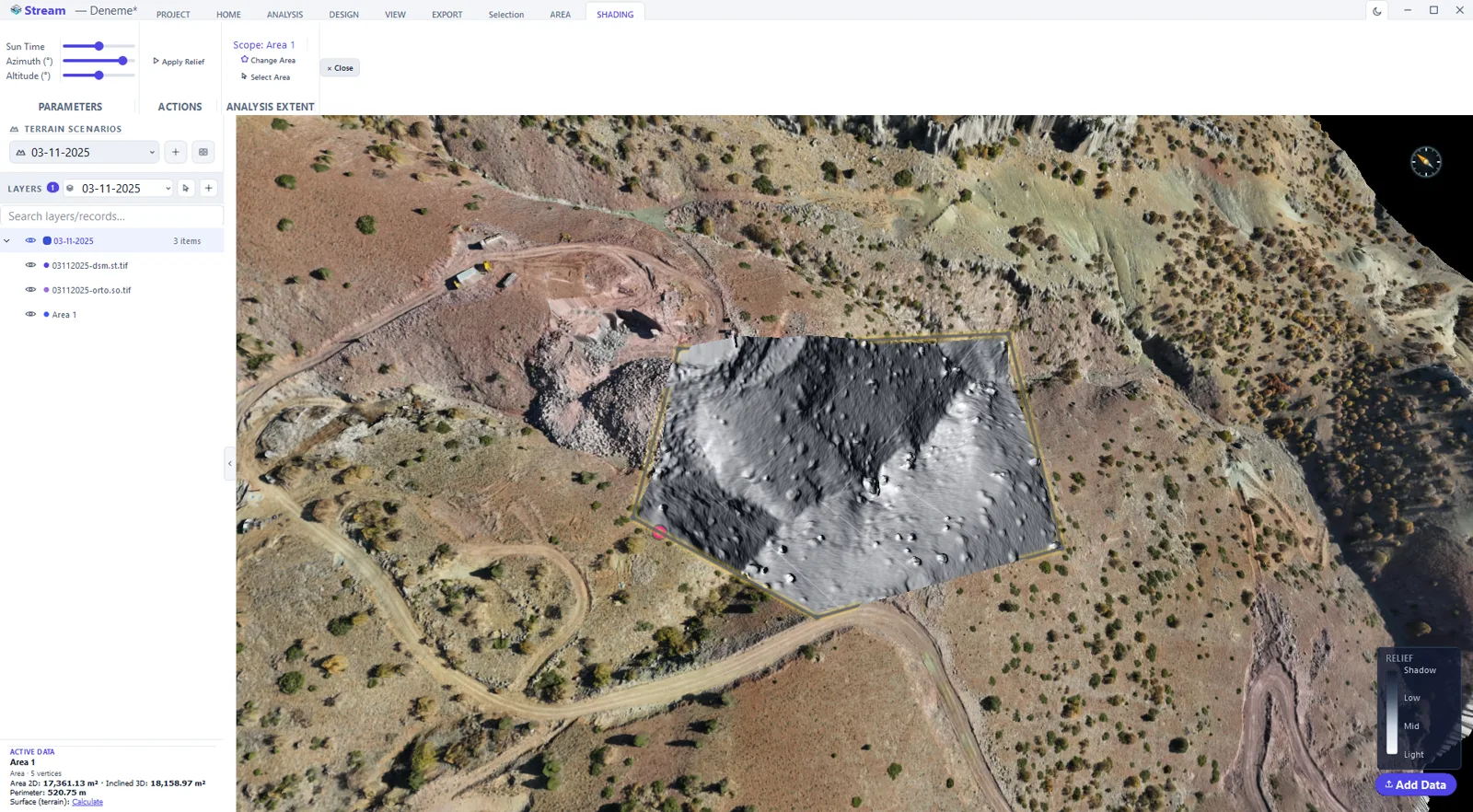
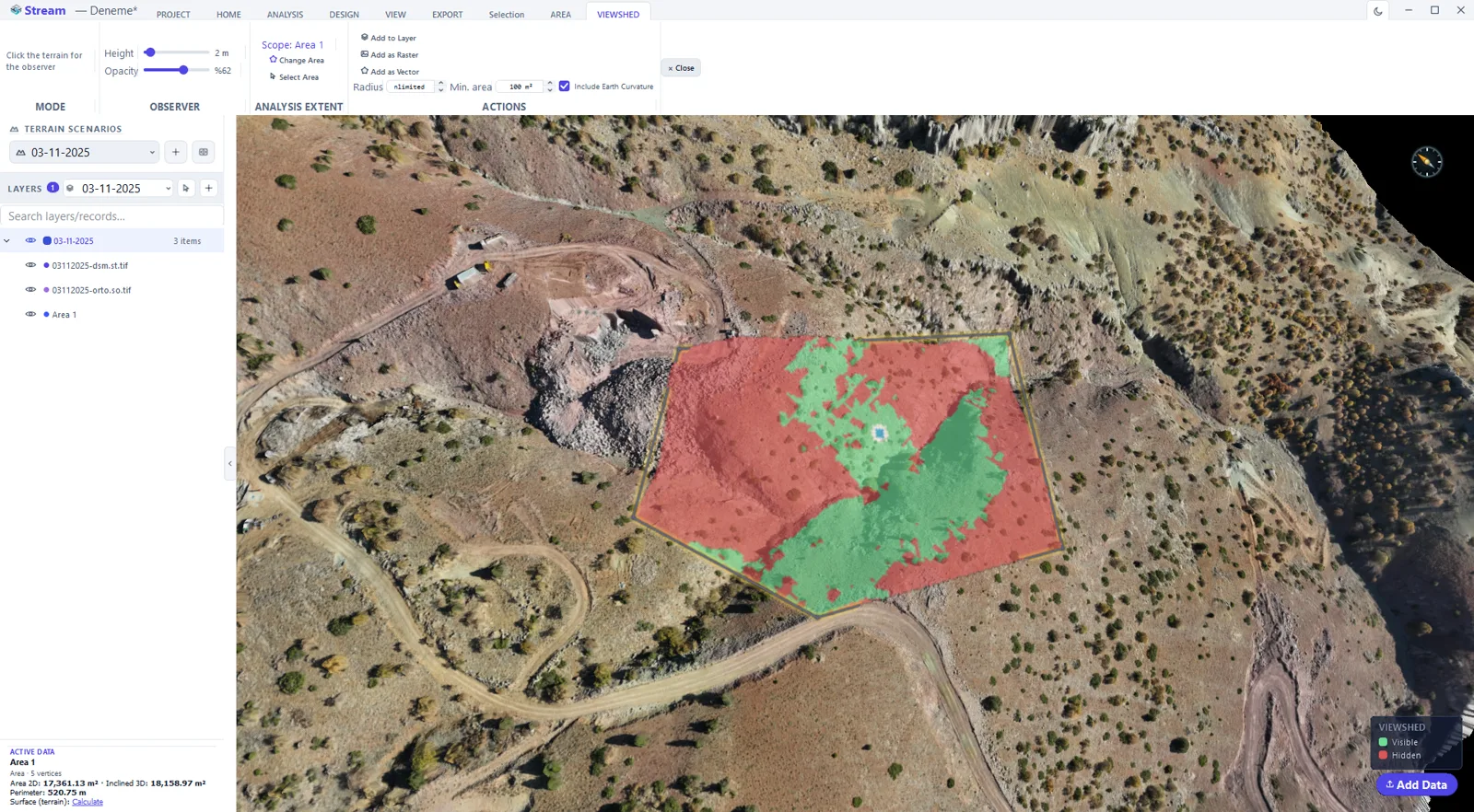
How to run a terrain analysis in STREAM
- 1
Set the scope
Draw an area or select one you drew earlier. The scope badge on every analysis panel shows which area the calculation will use.
- 2
Enter the parameters
Thresholds, intervals, mode, observer position or the scenario being compared — each analysis exposes its own set in one place.
- 3
Look at the live preview
The result is painted over the terrain immediately. Nothing is written to the project yet, so you can change a parameter and look again.
- 4
Evaluate
Read the legend, adjust the overlay opacity, and check the figures in the side panel.
- 5
Make it permanent
Add the result to the layer list, or save it as a raster or a vector — and export PDF or CSV if it is going into a report.
Supported formats
Frequently asked questions
What analyses does STREAM include?
Slope, aspect, viewshed, line-of-sight, hydrology, contour generation, sun & shadow, and change detection — all computed on the DEM.
Can I overlay results on the terrain?
Yes. Analysis results appear as a live color layer over the terrain, and can be saved as raster or vector.
Does it run offline?
Yes. All analysis runs locally on your computer; your data never leaves your machine.
What is the best terrain analysis software for slope and hydrology?
STREAM runs slope, aspect, hydrology and watershed analysis in one desktop app, directly on your DEM, without exporting to a separate GIS tool.
What formats can I export terrain analysis results in?
Every analysis layer can be saved as raster or vector, ready to bring into other GIS or CAD software.
Where this is used
Try Terrain Analysis in STREAM
Free beta for Windows x64. Works fully offline with GeoTIFF, LAS/LAZ and DXF.
Download STREAM free