Measure a distance
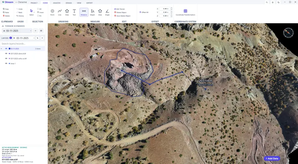
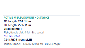
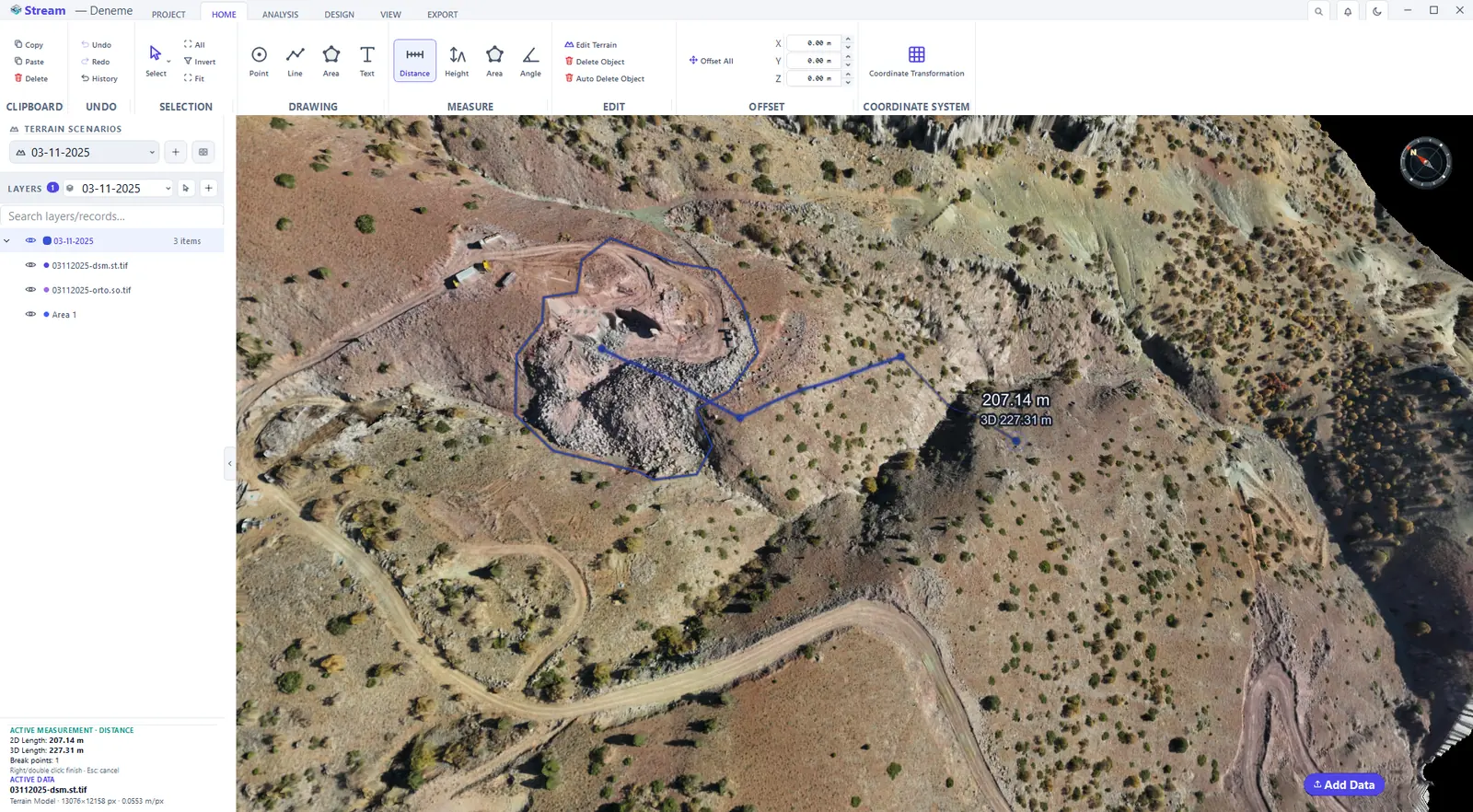
Click Distance and click along the path you want to measure. The running total follows the cursor in the view; the card shows the 2D Length (horizontal) and the 3D Length (along the slope), with the segment lengths. Right-click to finish — the measurement is added to LAYERS — or press Esc to discard it.
The Measure group on the Home tab.

Click along the path.
2D and 3D length in the card.
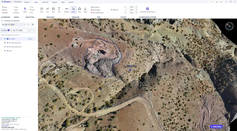
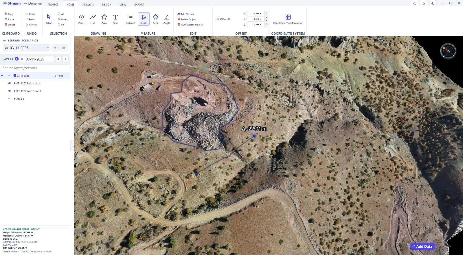
Measure a height difference
Click Height, then click the first point. Move to the second point: the elevation difference (Δh), the horizontal distance and the slope between the two are shown live. Click to fix it.
Elevation difference between two points.
Measure an area
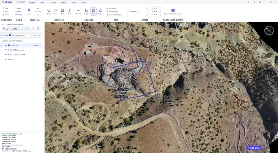
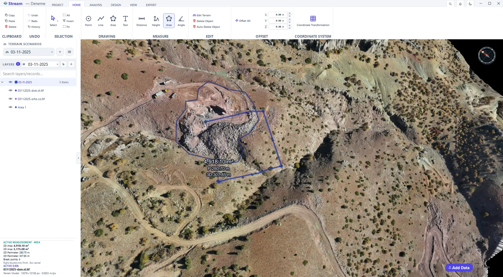
Click Area in the MEASURE group and click the corners. The label in the view and the card show the 2D Area, the 3D Area and both perimeters. Right-click to finish or Esc to discard.
2D and 3D area of a drawn shape.
Measure an angle
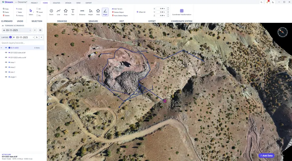
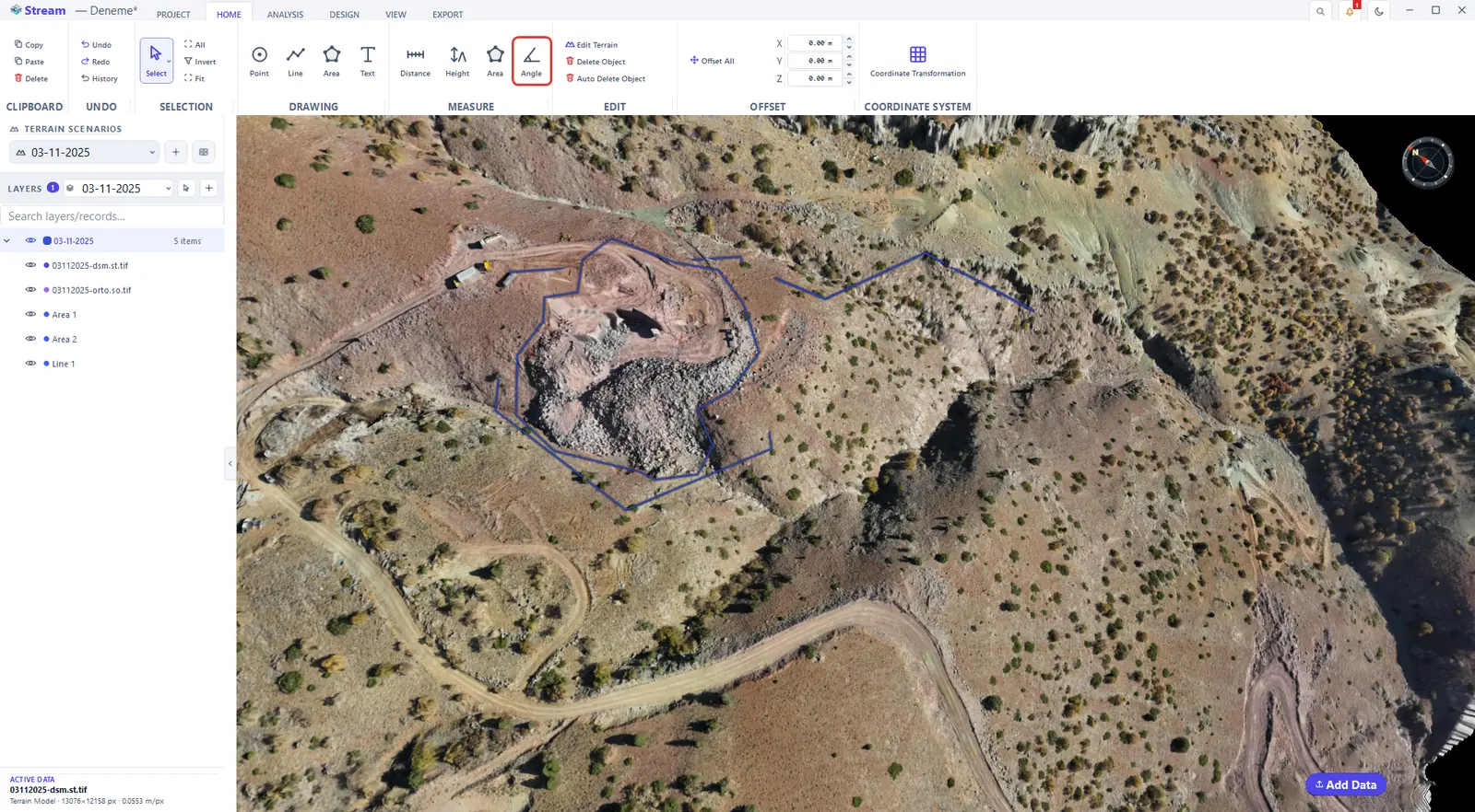
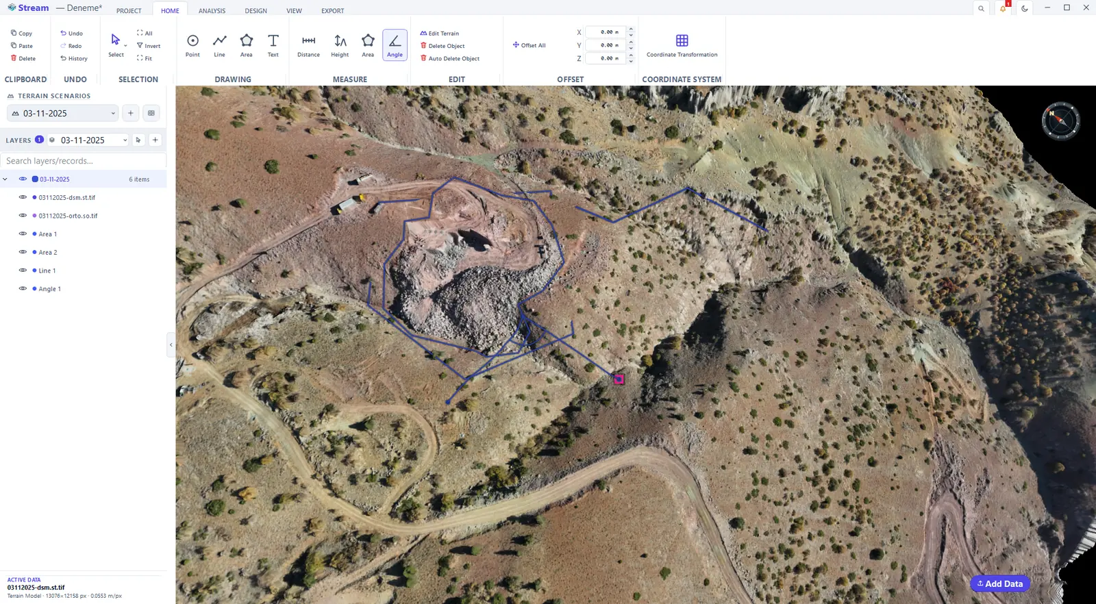
Click Angle, then click three points: the end of the first arm, the vertex and the end of the second arm. The measurement gives the horizontal (plan) angle, the 3D angle in space and the vertical angle of both arms (+ up), and finishes on the third click.
Pick the Angle tool.
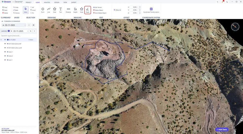
Click three points to read the angle.
Next: Terrain analysis.
Related features
What each capability does, which formats it reads and writes, and answers to common questions: