
Take the activity from two surveys
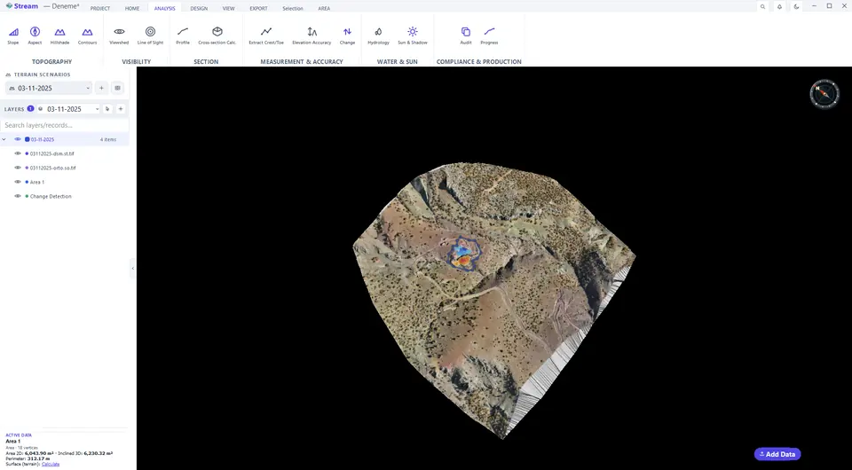
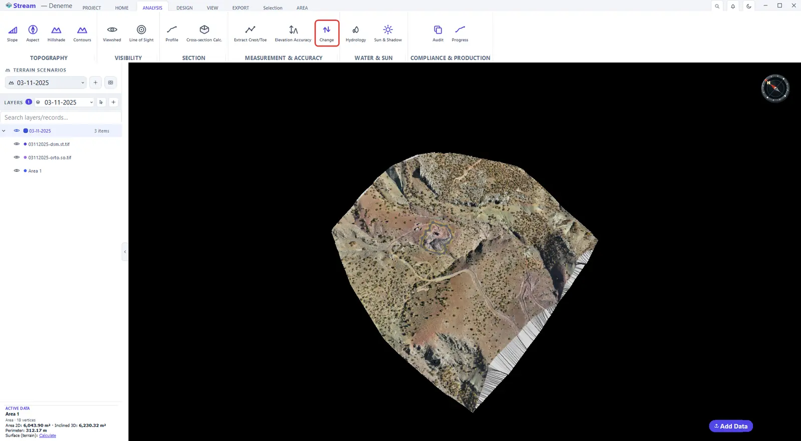
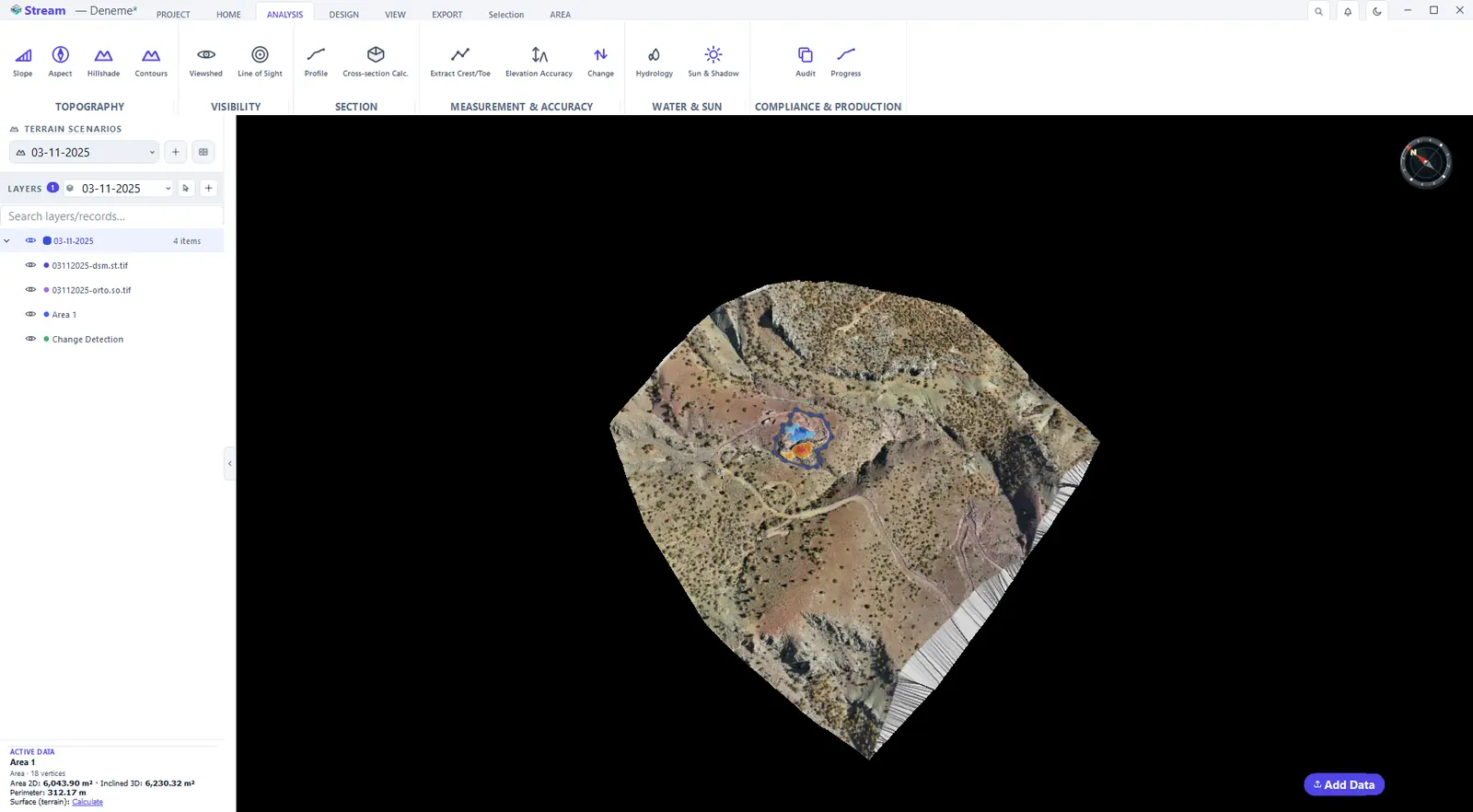
The activity that is audited comes from the project. Here it is the change between two surveys: select the area and run change detection between them. The cut and fill between the two surveys is the audited activity.
Select the area and run Change Detection between surveys.
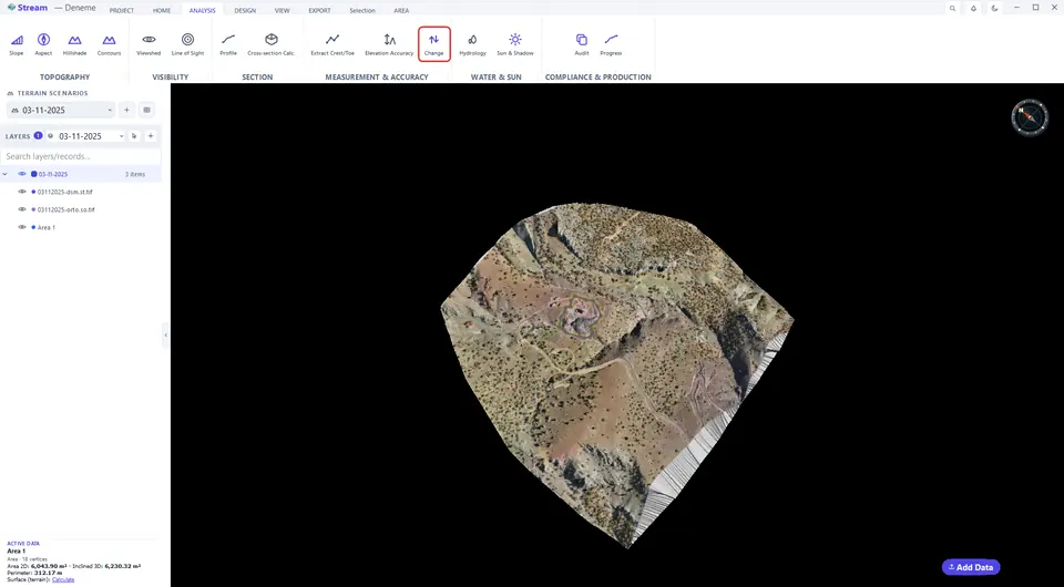
Cut and fill between the two surveys is the audited activity.
The activity list fills itself from the project: area and line records that are not constraints, cut/fill maps, change detection results, stockpiles, blast holes and open design sessions.
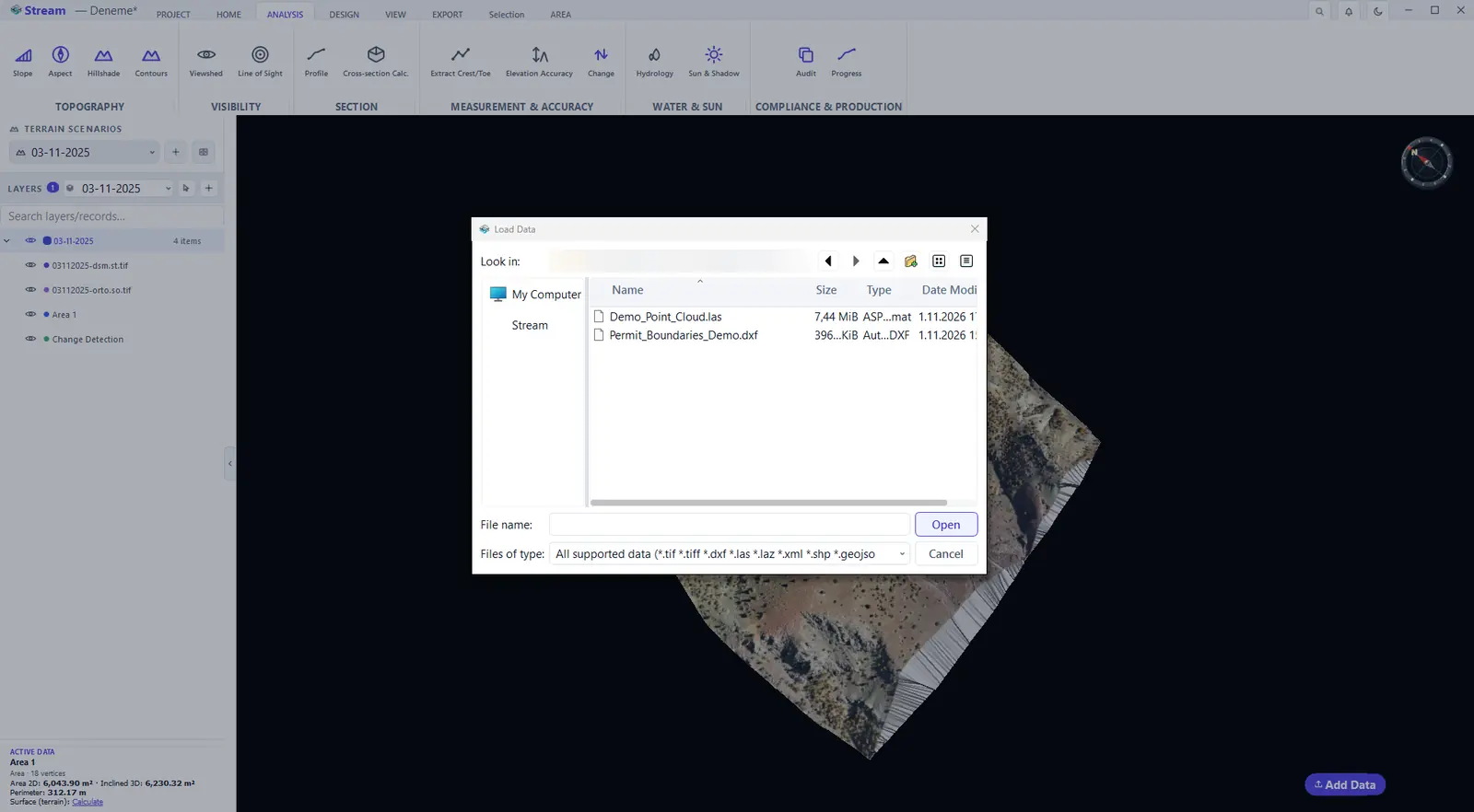
Load permit boundaries from a DXF file
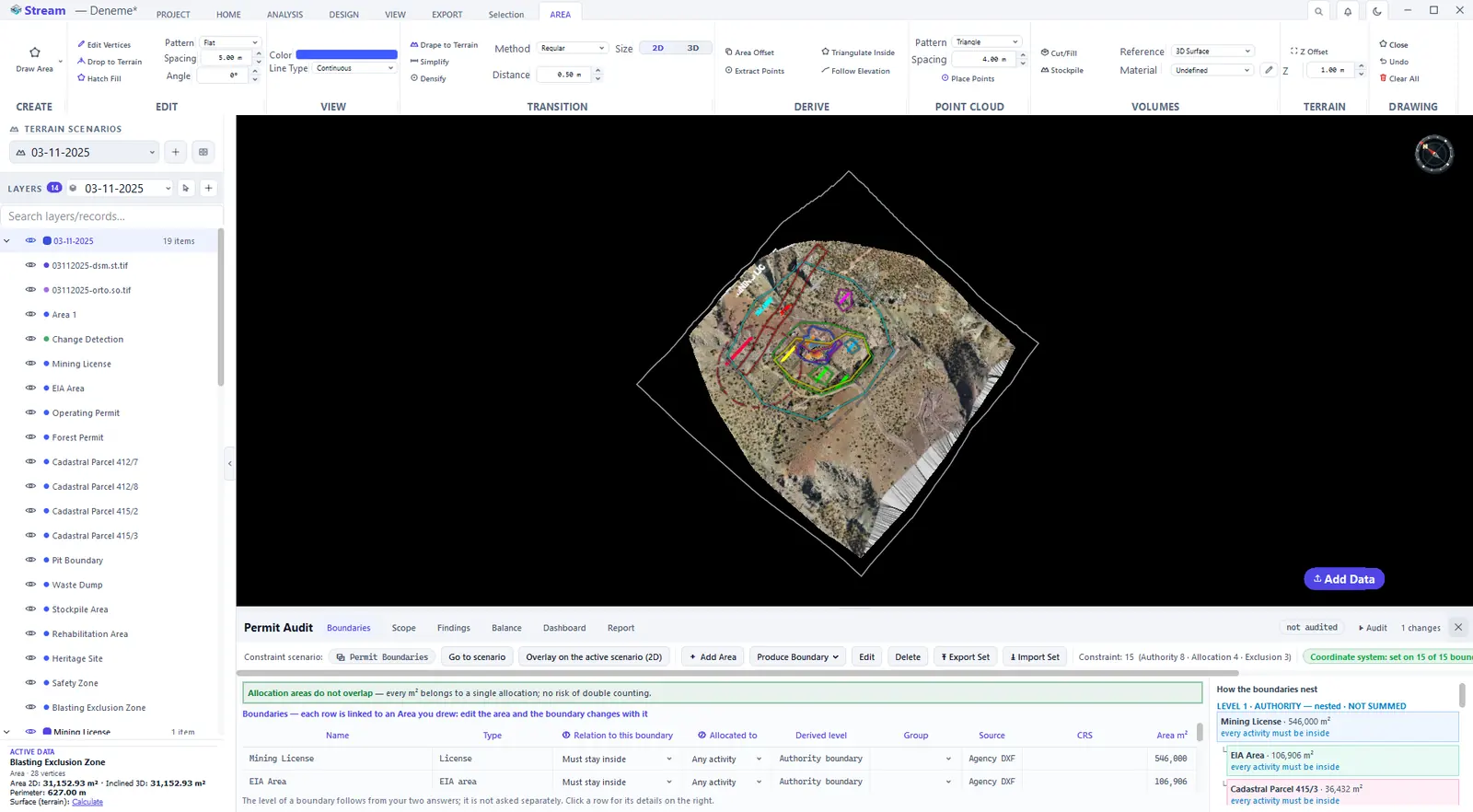
Boundaries can be drawn as areas, derived from a coordinate list or a buffer, or loaded from the authority's drawing. Add the permit boundaries DXF with Add Data: each DXF layer becomes a boundary on the terrain.
Add the permit boundaries DXF.
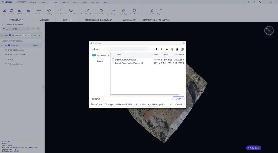
Each DXF layer becomes a boundary on the terrain.
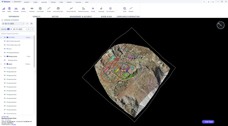
All permit boundaries over the site.
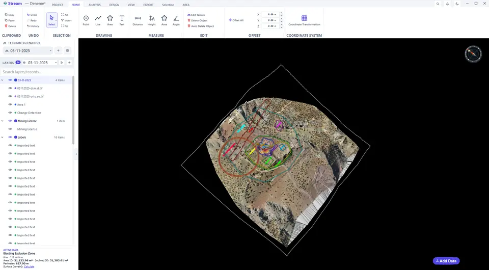
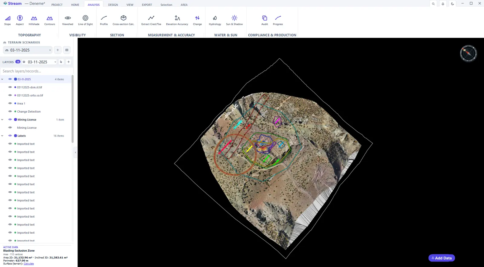
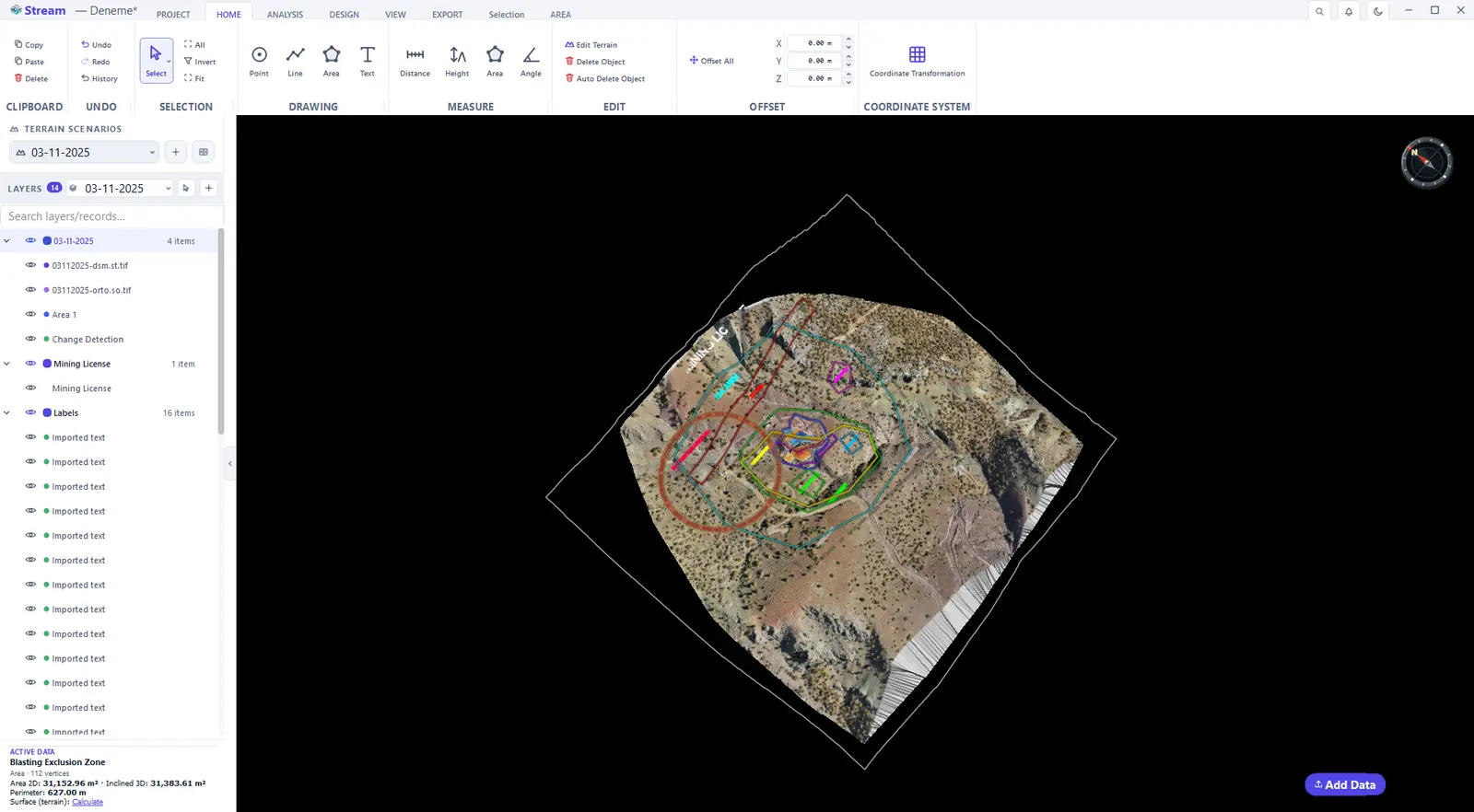
Permit boundaries and constraints
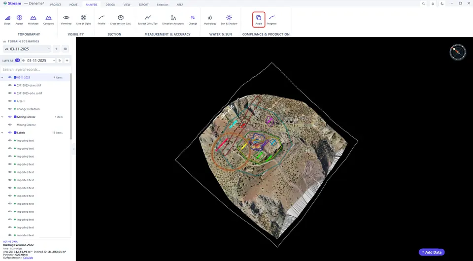
Open Permit Audit on the ANALYSIS tab. On the Boundaries tab, turn each boundary into a constraint: the dialog asks about the relation to the boundary (must stay inside, or must stay outside) and what the area is allocated for, and the constraint's level follows from the answers:
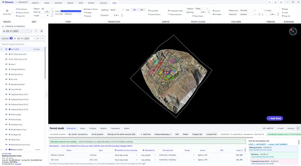
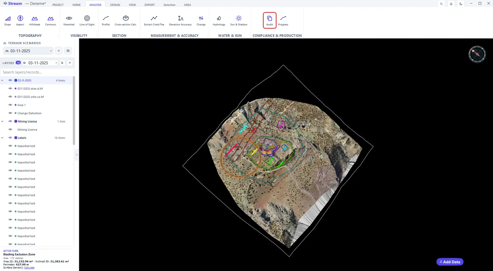
Open Permit Audit on the Analysis tab.
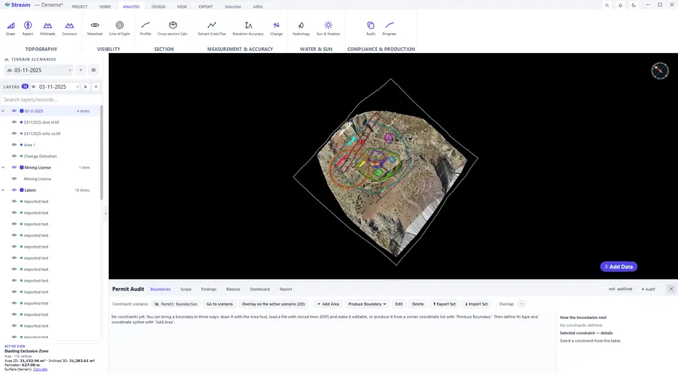
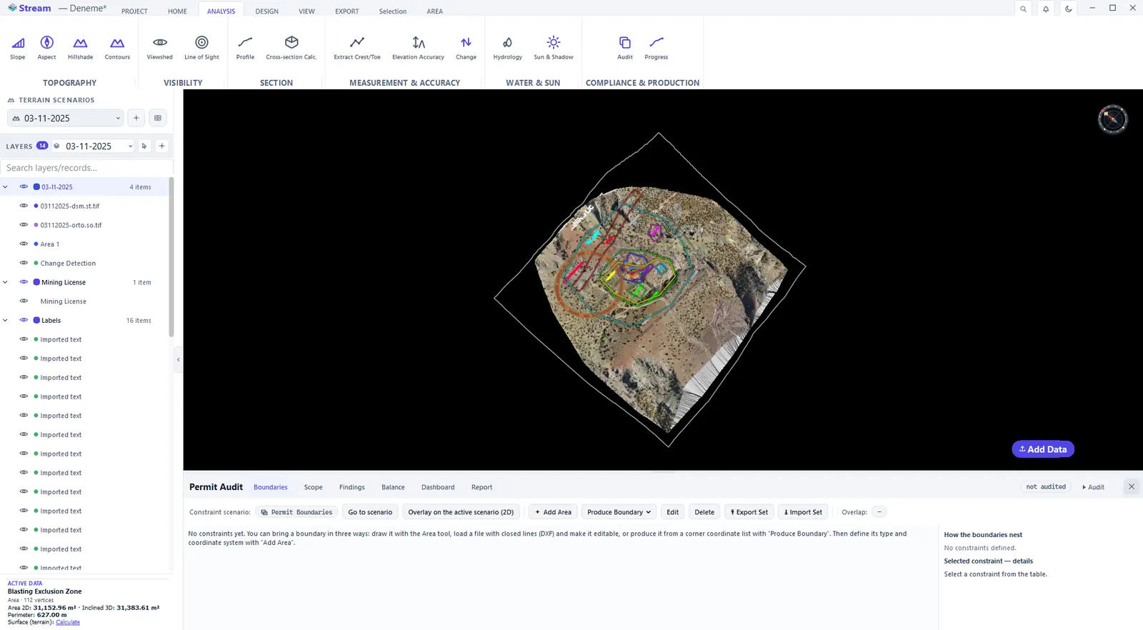
Boundaries tab before any constraints are set.
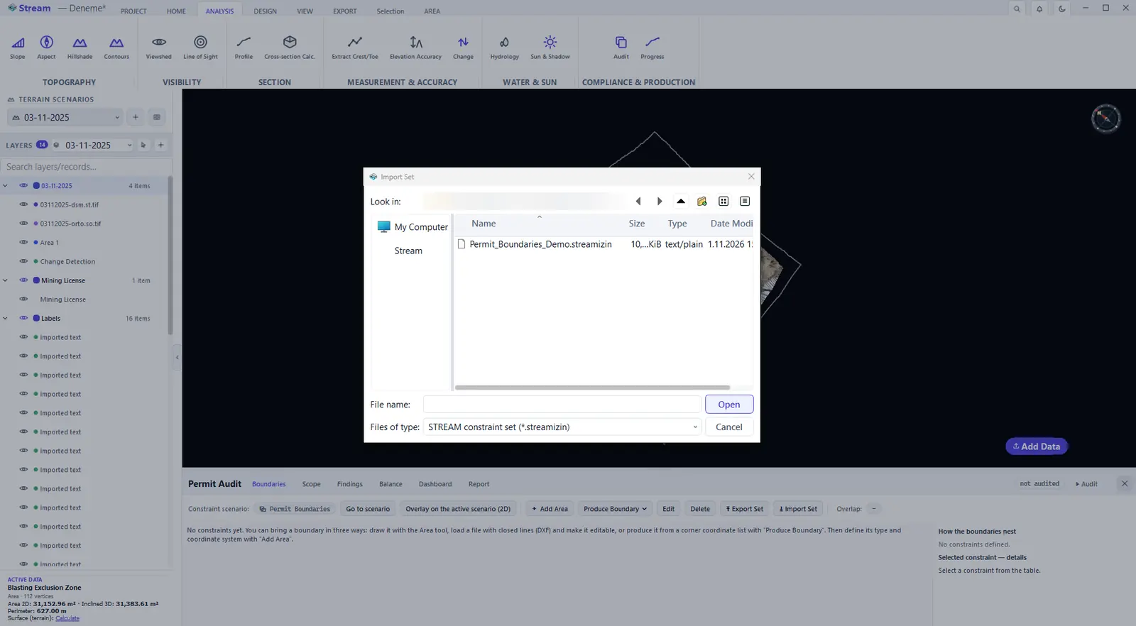
Import the constraint set.
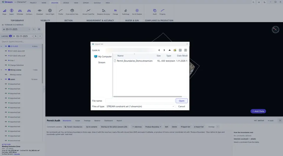
Fifteen constraints with level, owner and document.
- Authority boundary — tested on its own; rows are not summed.
- Allocation area — allocations exclude one another; rows are summed.
- Exclusion zone — every intersection is a violation and overrides the other levels.
The permit or document number, the owner, the source (official coordinate list, authority DXF, digitised by hand), the CRS and the validity dates are stored with each constraint. Source and CRS are mandatory: no report is produced with a constraint whose CRS is unknown. Export Set and Import Set write the whole constraint set to a file and read it back.
Choose what is audited
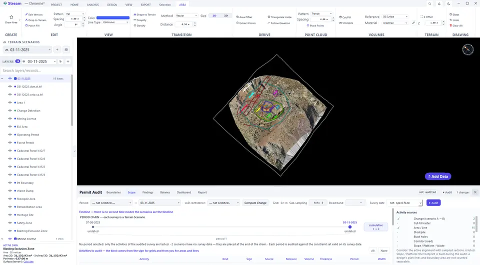
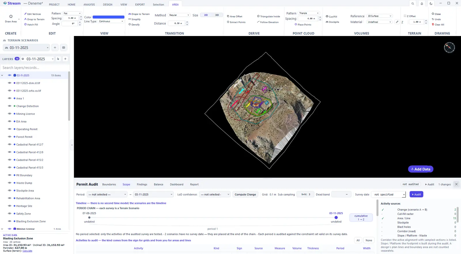
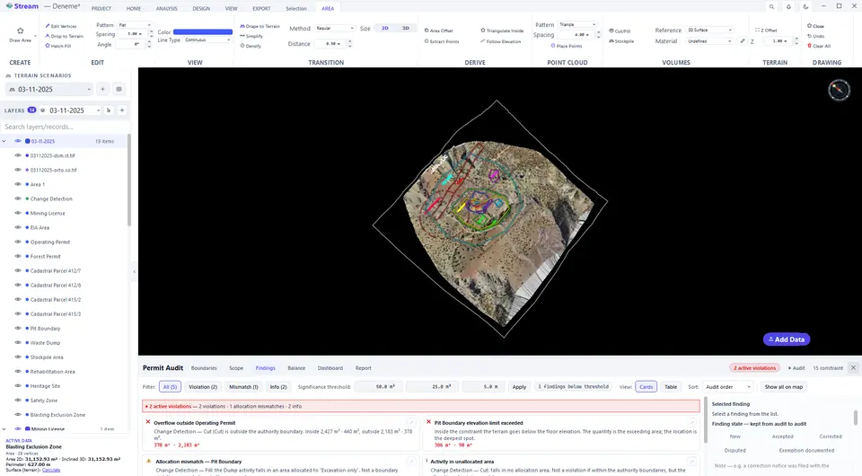
The Scope tab lists the activities. Not every drawn area or line is an activity: an unticked row is left out of the audit, and for areas and lines you choose the activity type — the program does not assume one. Choose the period (the end of the period is the audited survey), the confidence for the change detection and the accuracy settings; empty thresholds are not applied.
Activities, period and accuracy settings.
Run the audit
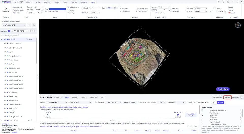
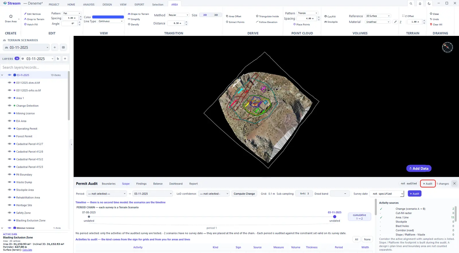
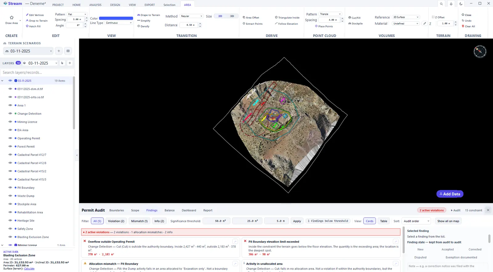
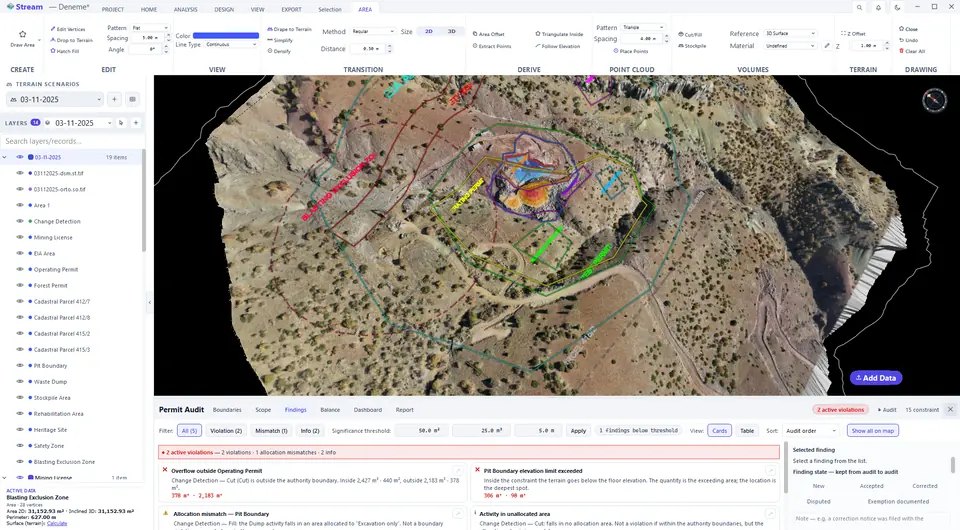
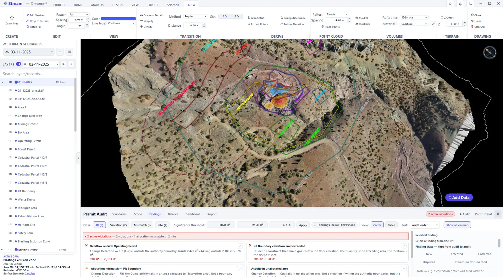
Press ▶ Audit in the header. The Findings tab lists three kinds of finding in one list: a Violation (spilling outside an authority boundary or entering an exclusion zone), an Allocation mismatch (no boundary is crossed, but the area is allocated to another activity) and Info.
Press Audit.
Violations, mismatches and info in one list.
Show the findings on the map
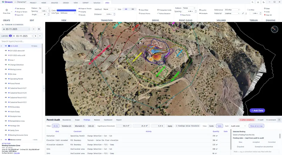
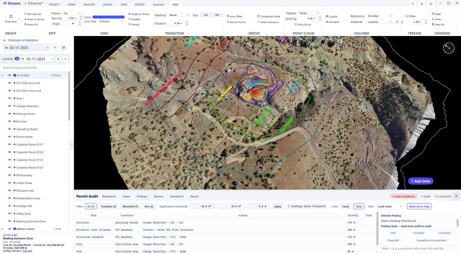
Show on map moves the camera to a finding and Show all on map marks the regions of all open findings together. The same findings are available as a table that you can filter by kind, sort and set a status on — accepted, corrected, disputed or exemption documented — with a note; both survive the next audit.
Show all findings on the map.
The same findings as a table.
Balance and quotas
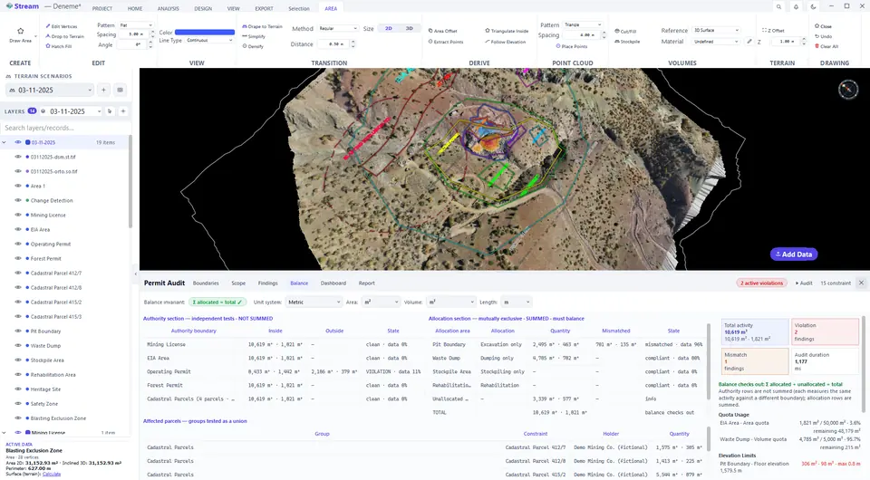
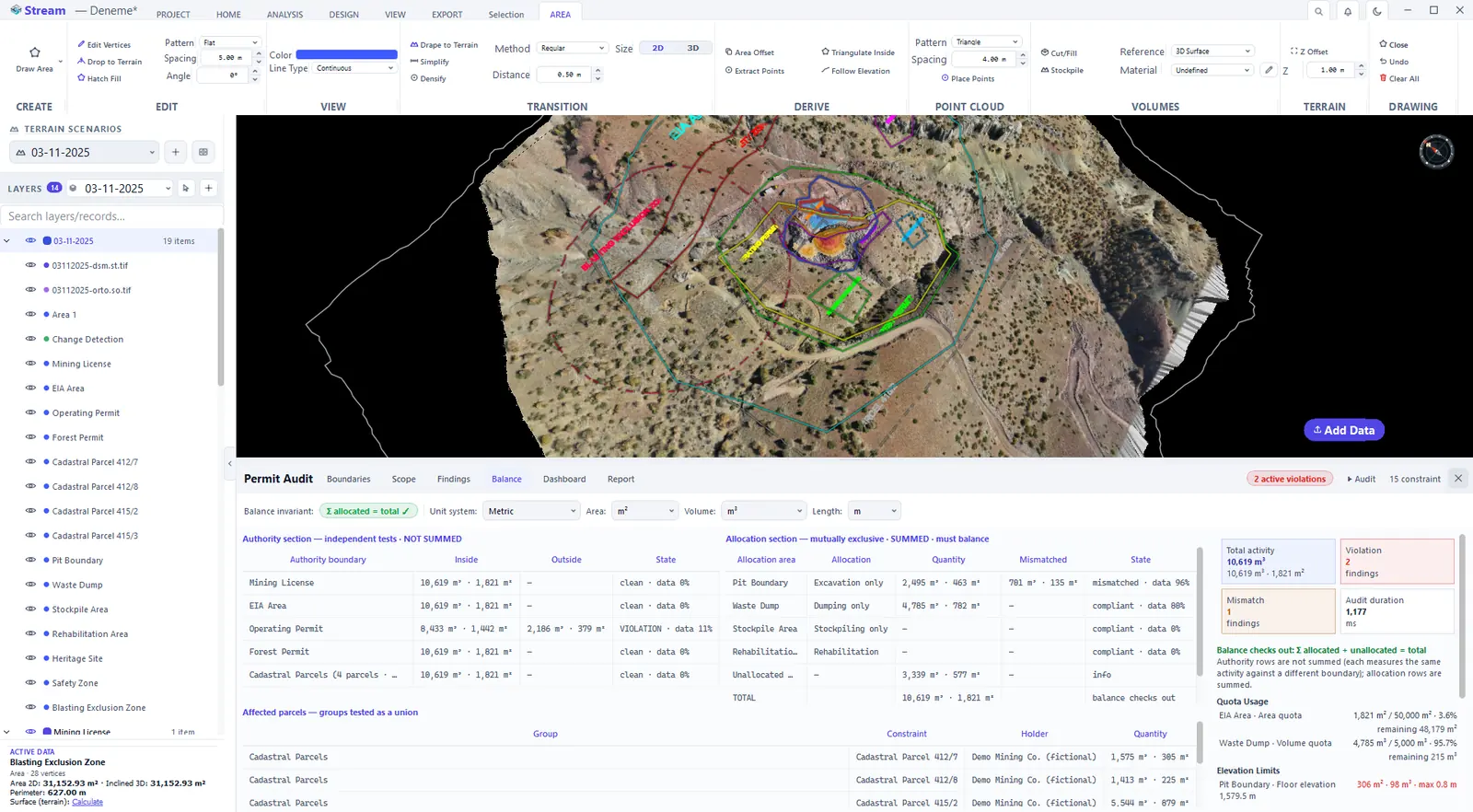
The Balance tab shows inside and outside quantities for authority boundaries and an allocation · quantity · mismatch table for allocation areas. The rule: allocations plus unallocated equal the total. If the balance does not hold, the panel says so, and no report should be produced. Quotas and elevation limits entered in a constraint are checked here too.
Authority and allocation balance, quotas and limits.
Dashboard
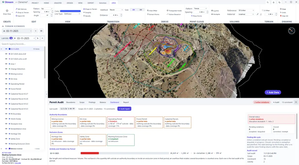
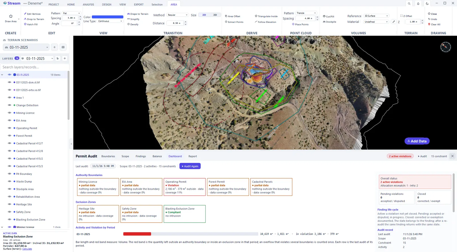
The Dashboard shows the overall state on one screen: active violations, pending (accepted or disputed) and closed (fixed or exempt) findings, and allocation mismatches.
Compliance at a glance.
Compliance report
One audit yields several documents; pick the kind in the Report box — operational, EIA, licence, cadastre, protected area or temporal activity report. They differ in scope, not in the numbers. Report content switches sections on and off; the mandatory sections that state the document's source and limits cannot be switched off.
Report contents and export.
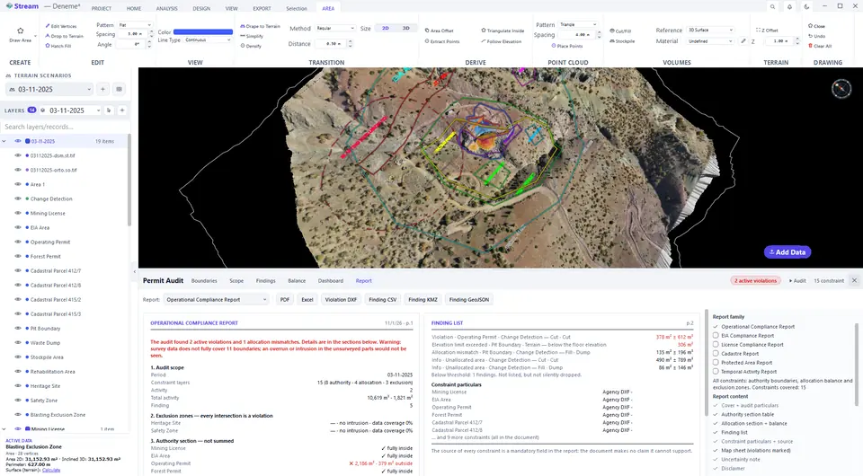
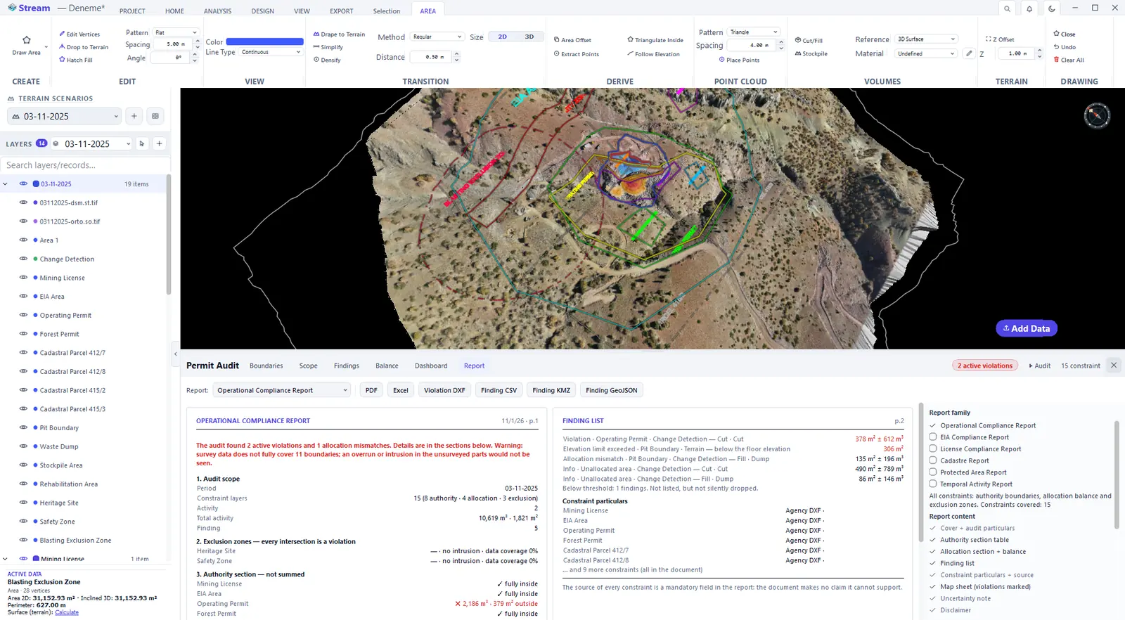
Outputs: PDF to read, Excel to compute on, a violation DXF that writes the violating regions as separate layers and can be laid over the sheet submitted to the authority, and Finding CSV, KMZ and GeoJSON for other software. The output buttons stay locked — not hidden — until the audit has run, while the audit is incomplete or when the balance does not hold; the preview states the reason.
Next: Production and progress.
Related features
What each capability does, which formats it reads and writes, and answers to common questions: